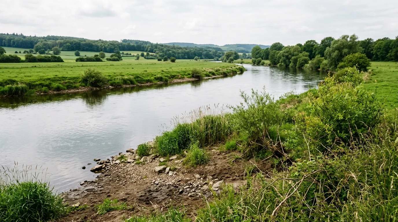
Die Aare ist der längste gänzlich innerhalb der Schweiz verlaufende Fluss. Ihre Gesamtlänge beträgt 288 km, das Gefälle 1665 m und der mittlere Abfluss 525 m³/s. Die Aare ist der wasserreichste Nebenfluss des Rheins, noch vor dem Hochrhein selbst, und sie führt mehr Wasser als Mosel und Main zusammen. Das Einzugsgebiet der Aare umfasst 17'709 km² am Alpennordhang und im Mittelland.
Quelle: Wikipedia (CC BY-SA) – de.wikipedia.org
Catch chances & best biting times for Aare
Data-driven helpers from Angelradar - find the right water, the right lure and the best time to fish.
Estimate your chances from real catch data - factoring in moon, air pressure, weather and time of day.
Which lure catches which fish? Find the right lure for your target species.
Upload a fish photo and get an AI-assisted estimate of possible species.
Discover where which species occur - based on real community catch data.
Calculate weight and condition factor using Fulton's formula - quick and easy.
Closed seasons and minimum sizes by state - so you always fish within the rules.

Location & directions
Explore the water body on the map
Have you been an der Aare?
Log your catches, private & free, and keep an eye on your spots.
River
Does your club manage Aare, in whole or in part? Add it as a club water - with map, restricted zones, closed seasons and fishing-permit info for every angler.
Die Aare ist der längste gänzlich innerhalb der Schweiz verlaufende Fluss. Ihre Gesamtlänge beträgt 288 km, das Gefälle 1665 m und der mittlere Abfluss 525 m³/s. Die Aare ist der wasserreichste Nebenfluss des Rheins, noch vor dem Hochrhein selbst, und sie führt mehr Wasser als Mosel und Main zusammen. Das Einzugsgebiet der Aare umfasst 17'709 km² am Alpennordhang und im Mittelland.
Here you'll find answers to the most frequently asked questions