Auf der Suche nach weiteren Gewässern? In Bayern gibt es 260 Teiche zum Angeln.
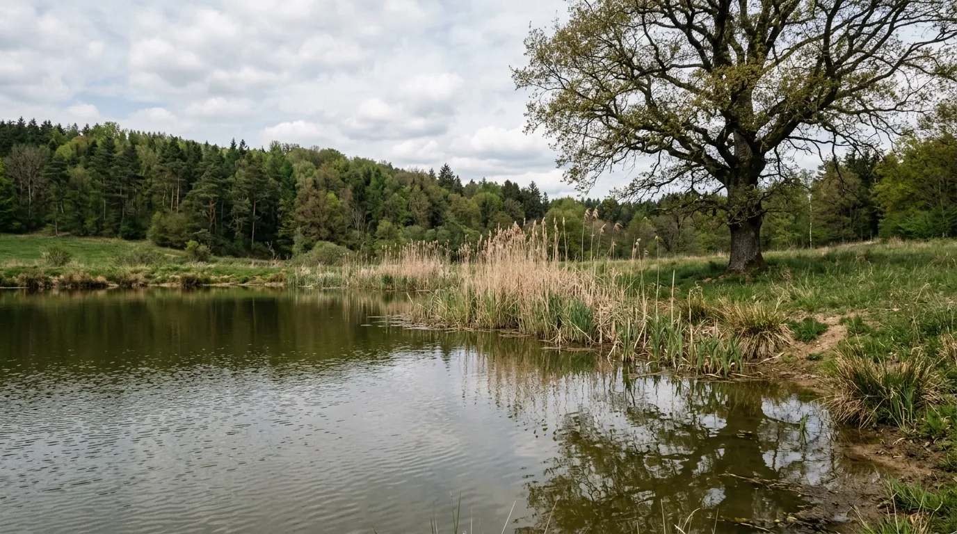
Alle Teiche in BayernDer Lachenweiher oder Schwarze Lache ist ein Moorsee im Naturschutzgebiet Bernrieder Filz im nordwestlichen Gemeindegebiet von Seeshaupt, Gemarkung Magnetsried. Er entwässert über zahlreiche Gräben zum Nußberger Weiher. Vom Weiler Nußberg aus kann man sich dem Weiher annähern. Wegen einer großflächigen Wiedervernässung des Moores ist er nicht direkt erreichbar.
Quelle: Wikipedia (CC BY-SA) – de.wikipedia.org
Datenbasierte Helfer von Angelradar - finde das passende Gewässer, den richtigen Köder und den besten Zeitpunkt.
Schätze deine Fangchance aus echten Fangdaten - mit Mond, Luftdruck, Wetter und Tageszeit.
Welcher Köder fängt welchen Fisch? Finde den passenden Köder für deinen Zielfisch.
Lade ein Fischfoto hoch und erhalte eine KI-gestützte Einschätzung möglicher Fischarten.
Entdecke, wo welche Fischarten vorkommen - auf Basis echter Community-Fangdaten.
Berechne Gewicht und Konditionsfaktor nach Fulton's Formel - schnell und einfach.
Schonzeiten und Mindestmaße je Bundesland - damit du immer regelkonform angelst.

Lage & Anfahrt
Gewässer auf der Karte erkunden
Warst du schon am Lachenweiher?
Trage deine Fänge ein, privat & kostenlos, und behalte deine Spots im Blick.
Teich / Weiher
Bewirtschaftet dein Verein Lachenweiher ganz oder in Teilen? Trage es als Vereinsgewässer ein - mit Karte, Sperrzonen, Schonzeiten und Angelkarten-Infos für alle Angler.
Der Lachenweiher oder Schwarze Lache ist ein Moorsee im Naturschutzgebiet Bernrieder Filz im nordwestlichen Gemeindegebiet von Seeshaupt, Gemarkung Magnetsried. Er entwässert über zahlreiche Gräben zum Nußberger Weiher. Vom Weiler Nußberg aus kann man sich dem Weiher annähern. Wegen einer großflächigen Wiedervernässung des Moores ist er nicht direkt erreichbar.
Hier findest du Antworten auf die am häufigsten gestellten Fragen