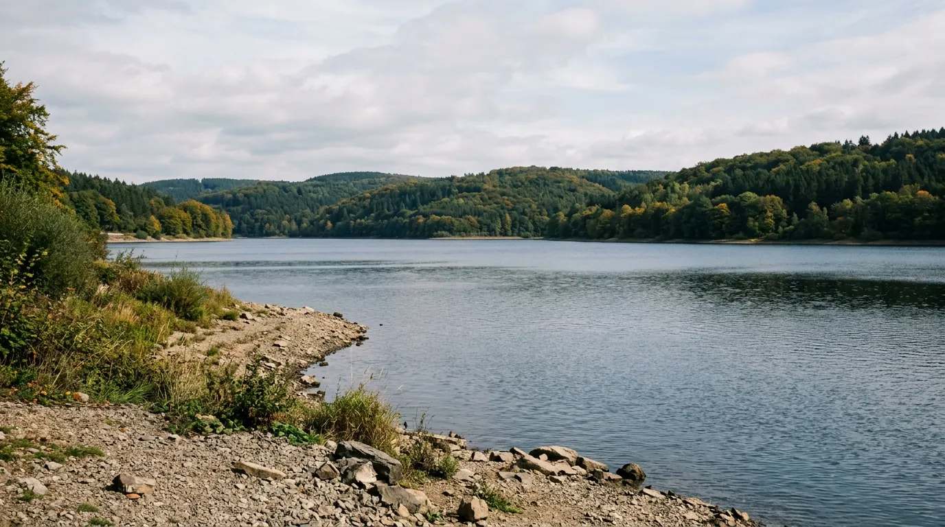
Der Vermuntsee liegt im Talende des Montafons, im österreichischen Bundesland Vorarlberg, auf einer Höhe von 1743 m ü. A. Er wird im Süden von der vergletscherten Litzner-Seehorn-Gruppe, im Osten vom Bergmassiv der Kresperspitze und im Westen vom Hochmaderer begrenzt. Entlang der östlichen Seite des Sees verläuft die Silvretta-Hochalpenstraße. Genutzt wird das gespeicherte Wasser im Vermuntwerk und als Unterwasserbecken für das 2019 fertiggestellte Obervermuntwerk II der illwerke vkw AG.
Quelle: Wikipedia (CC BY-SA) – de.wikipedia.org
Data-driven helpers from Angelradar - find the right water, the right lure and the best time to fish.
Estimate your chances from real catch data - factoring in moon, air pressure, weather and time of day.
Which lure catches which fish? Find the right lure for your target species.
Upload a fish photo and get an AI-assisted estimate of possible species.
Discover where which species occur - based on real community catch data.
Calculate weight and condition factor using Fulton's formula - quick and easy.
Closed seasons and minimum sizes by state - so you always fish within the rules.

Location & directions
Explore the water body on the map
Have you been am Vermunt-Stausee?
Log your catches, private & free, and keep an eye on your spots.
Looking for more waters? Vorarlberg has 12 Reservoirs for fishing.