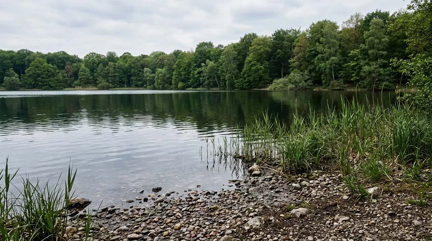
Der Lange-Köchel-See ist ein künstliches Gewässer im Landkreis Garmisch-Partenkirchen, das als Tagebaurestloch des ehemaligen Steinbruchs Hartsteinwerk Werdenfels durch Niederschlag seit seiner Entstehung natürlich geflutet worden ist. Die ehemalige Grube, die nun den See beinhaltet, entstand, nachdem der oberflächliche Abbau von Glaukoquarzit am Langen Köchel erschöpft war und unter dem Niveau des umliegenden Murnauer Mooses fortgesetzt wurde. Nach Beendigung der bergbauerischen Aktivitäten hat sich die Grube innerhalb weniger Jahre gefüllt.
Quelle: Wikipedia (CC BY-SA) – de.wikipedia.org
Data-driven helpers from Angelradar - find the right water, the right lure and the best time to fish.
Estimate your chances from real catch data - factoring in moon, air pressure, weather and time of day.
Which lure catches which fish? Find the right lure for your target species.
Upload a fish photo and get an AI-assisted estimate of possible species.
Discover where which species occur - based on real community catch data.
Calculate weight and condition factor using Fulton's formula - quick and easy.
Closed seasons and minimum sizes by state - so you always fish within the rules.

Location & directions
Explore the water body on the map
Have you been am Langer Köchel See?
Log your catches, private & free, and keep an eye on your spots.
Your data is yours: catches can be shared privately, anonymously or publicly. Sign in and discover every feature.
Looking for more waters? Bayern has 1,422 Lakes for fishing.