Worth knowing about the water body
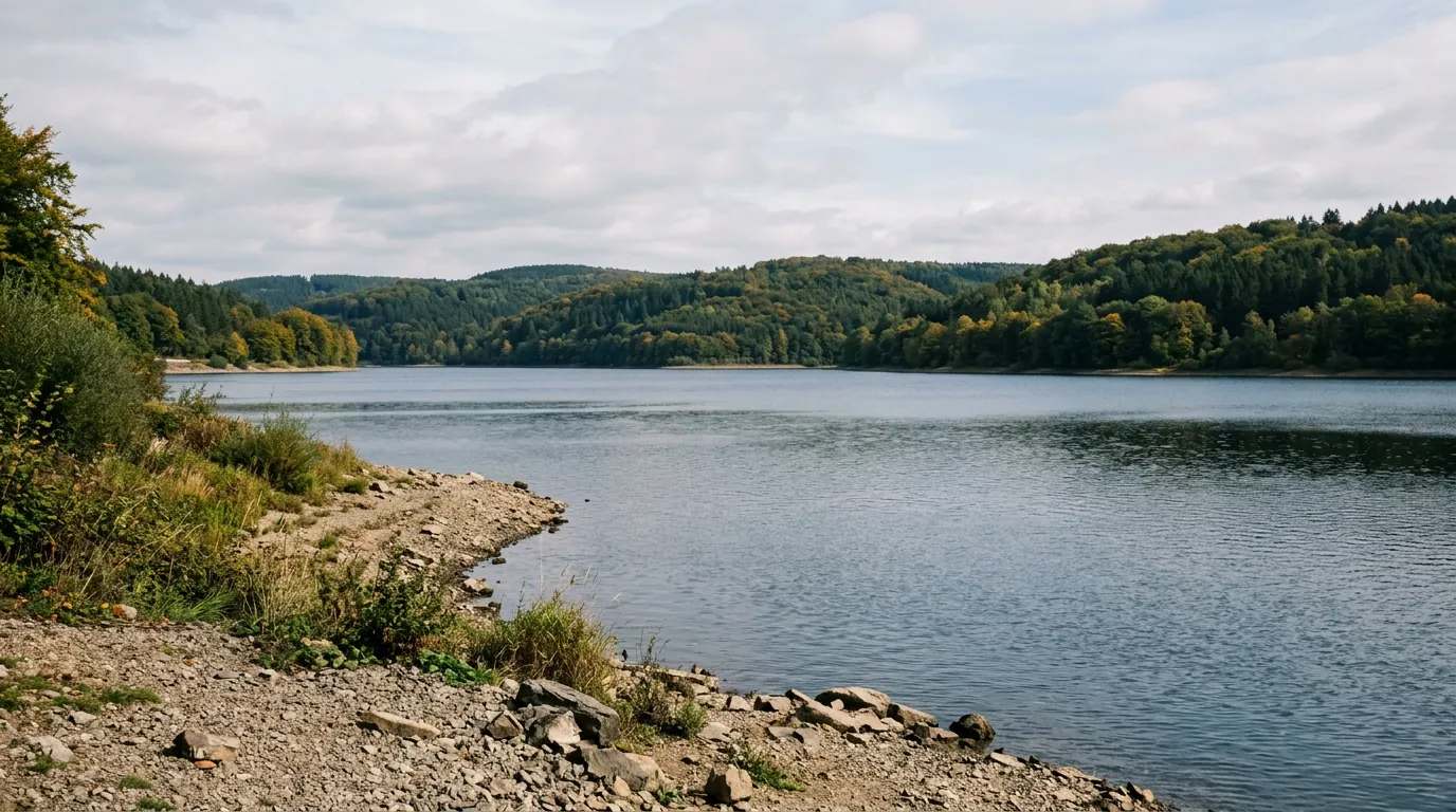
Die Förmitztalsperre, der Förmitzspeicher oder Förmitzsee ist eine 1977 fertiggestellte Talsperre am südlichen Rand des Gemeindegebietes von Schwarzenbach an der Saale im oberfränkischen Landkreis Hof. Namensgeber ist der gleichnamige Fluss Förmitz, ein rechter Nebenfluss der „Sächsischen“ Saale. Die Talsperre liegt am Nord-Fuß des Waldsteinzuges im muldenförmigen Tal der Förmitz. Erbauer und Betreiber ist der Freistaat Bayern.
Quelle: Wikipedia (CC BY-SA) – de.wikipedia.org
Compare conditions for Förmitztalsperre
Data-driven helpers from Angelradar - find the right water, the right lure and the best time to fish.
Compare weather, moon and time of day with past catch conditions. The bite index is a heuristic planning guide, not a calculated catch probability.
Which lure catches which fish? Find the right lure for your target species.
Upload a fish photo and get an AI-assisted estimate of possible species.
Discover where which species occur - based on real community catch data.
Calculate weight and condition factor using Fulton's formula - quick and easy.
Closed seasons and minimum sizes by state - so you always fish within the rules.
You'll then see the conditions for Förmitztalsperre on your home page.

Location & directions
Explore the water body on the map
Have you been an der Förmitztalsperre?
Log your catches, private & free, and keep an eye on your spots.
Looking for more waters? Bayern has 72 Reservoirs for fishing.
All Reservoirs in Bayern