Looking for more waters? Vaud has 73 Rivers for fishing.
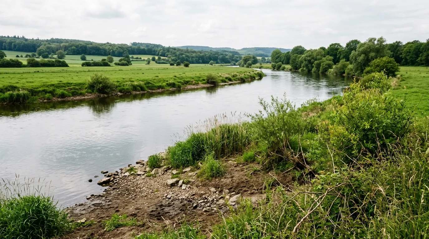
All Rivers in VaudDie Chamberonne, im Mittellauf Sorge genannt, ist ein rund 12 km langer Zufluss des Genfersees im Kanton Waadt der Schweiz. Sie entwässert einen Abschnitt des Waadtländer Mittellandes und gehört zum Einzugsbereich der Rhone. Die Fläche des Einzugsgebietes der Chamberonne beträgt etwa 40 km². Der Name leitet sich von den gallischen Wortbestandteilen cambo- und onno ab und bedeutet demnach so viel wie mäandrierender Bach.
Quelle: Wikipedia (CC BY-SA) – de.wikipedia.org
Data-driven helpers from Angelradar - find the right water, the right lure and the best time to fish.
Estimate your chances from real catch data - factoring in moon, air pressure, weather and time of day.
Which lure catches which fish? Find the right lure for your target species.
Upload a fish photo and get an AI-assisted estimate of possible species.
Discover where which species occur - based on real community catch data.
Calculate weight and condition factor using Fulton's formula - quick and easy.
Closed seasons and minimum sizes by state - so you always fish within the rules.

Location & directions
Explore the water body on the map
Have you been an der Chamberonne?
Log your catches, private & free, and keep an eye on your spots.
River
Does your club manage Chamberonne, in whole or in part? Add it as a club water - with map, restricted zones, closed seasons and fishing-permit info for every angler.
Die Chamberonne, im Mittellauf Sorge genannt, ist ein rund 12 km langer Zufluss des Genfersees im Kanton Waadt der Schweiz. Sie entwässert einen Abschnitt des Waadtländer Mittellandes und gehört zum Einzugsbereich der Rhone. Die Fläche des Einzugsgebietes der Chamberonne beträgt etwa 40 km². Der Name leitet sich von den gallischen Wortbestandteilen cambo- und onno ab und bedeutet demnach so viel wie mäandrierender Bach.
Here you'll find answers to the most frequently asked questions