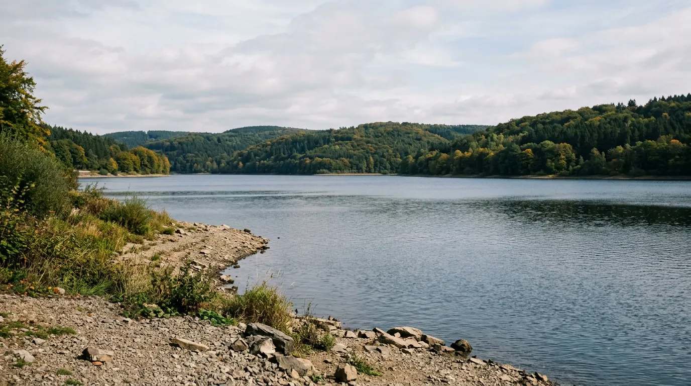
Die Fürwiggetalsperre ist die am höchsten gelegene Talsperre in Nordrhein-Westfalen. Sie liegt in der Nähe der Autobahn A45 am Westrand des Naturparks Sauerland-Rothaargebirge zwischen Meinerzhagen und Lüdenscheid. Die 1904 fertiggestellte Gewichtsstaumauer aus Bruchstein erzeugt einen kleinen Stausee, der in erster Linie zur Trinkwasserversorgung der umliegenden Gemeinden genutzt wird. Betreiber und Eigentümer der Fürwigge, wie sie auch in Kurzform genannt wird, ist der Ruhrverband in Essen, der insgesamt acht Talsperren im Sauerland betreibt. Bis zum Bau der weiter unterhalb liegenden Versetalsperre trug sie diesen Namen.
Quelle: Wikipedia (CC BY-SA) – de.wikipedia.org
Data-driven helpers from Angelradar - find the right water, the right lure and the best time to fish.
Estimate your chances from real catch data - factoring in moon, air pressure, weather and time of day.
Which lure catches which fish? Find the right lure for your target species.
Upload a fish photo and get an AI-assisted estimate of possible species.
Discover where which species occur - based on real community catch data.
Calculate weight and condition factor using Fulton's formula - quick and easy.
Closed seasons and minimum sizes by state - so you always fish within the rules.

Location & directions
Explore the water body on the map
Have you been an der Fürwiggetalsperre?
Log your catches, private & free, and keep an eye on your spots.
Looking for more waters? Nordrhein-Westfalen has 79 Reservoirs for fishing.
Your data is yours: catches can be shared privately, anonymously or publicly. Sign in and discover every feature.