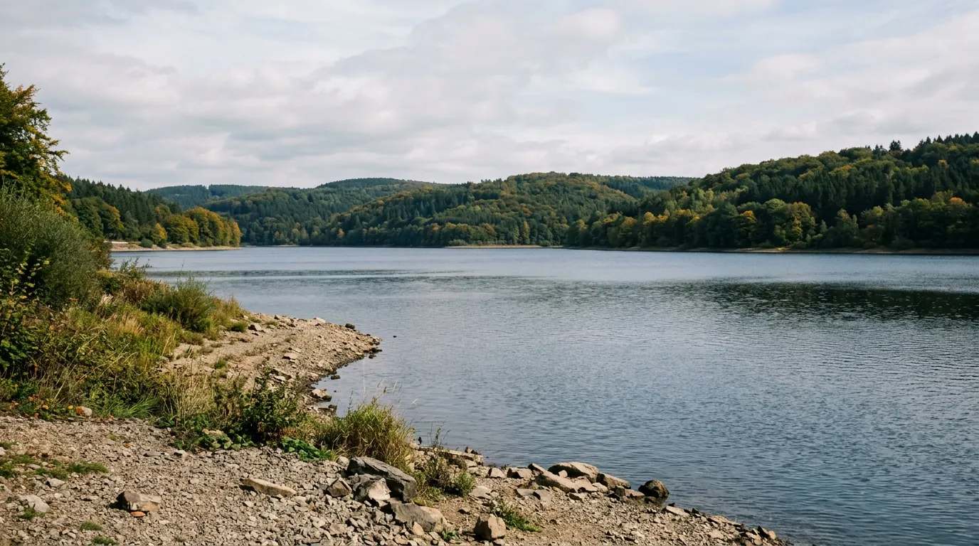
Die Dordogne [dɔʀˈdɔɲ] ist ein Fluss im Südwesten Frankreichs. Sie entsteht im Gemeindegebiet von Mont-Dore, in der Nähe des Puy de Sancy, aus dem Zusammenfluss der Quellbäche Dore und Dogne. Generell entwässert sie in westlicher Richtung, trifft nach einem Flussverlauf von rund 483 Kilometern beim Bec d’Ambès, nahe Bordeaux, mit der Garonne zusammen und bildet so einen Mündungstrichter, der unter dem Namen Gironde schließlich in den Atlantischen Ozean mündet. Am 11. Juli 2012 wurde das gesamte Einzugsgebiet der Dordogne von der UNESCO als Biosphärenreservat klassifiziert.
Quelle: Wikipedia (CC BY-SA) – de.wikipedia.org
Data-driven helpers from Angelradar - find the right water, the right lure and the best time to fish.
Estimate your chances from real catch data - factoring in moon, air pressure, weather and time of day.
Which lure catches which fish? Find the right lure for your target species.
Upload a fish photo and get an AI-assisted estimate of possible species.
Discover where which species occur - based on real community catch data.
Calculate weight and condition factor using Fulton's formula - quick and easy.
Closed seasons and minimum sizes by state - so you always fish within the rules.

Location & directions
Explore the water body on the map
Have you been am Dordogne?
Log your catches, private & free, and keep an eye on your spots.
Looking for more waters? Nouvelle-Aquitaine has 25 Reservoirs for fishing.
Your data is yours: catches can be shared privately, anonymously or publicly. Sign in and discover every feature.